DNA Development Co.Land Acquisition • Property Improvement • Development

WNC land concept images

Planning ideas for small parcels in Western North Carolina. These are concepts, not completed projects or surveys. Road names and addresses are left off on purpose.
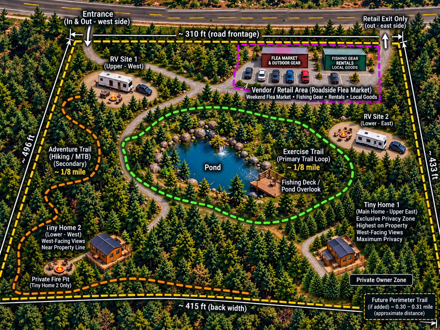
Concept rendering of a mixed-use mountain parcel with RV sites, tiny homes, a pond with trails, and a roadside flea market areaConcept rendering
Mixed-use parcel: RV sites, tiny homes, and a roadside marketRV pads, two tiny homes, walking trails around a pond, and a small vendor area by the road for a weekend flea market or food truck.
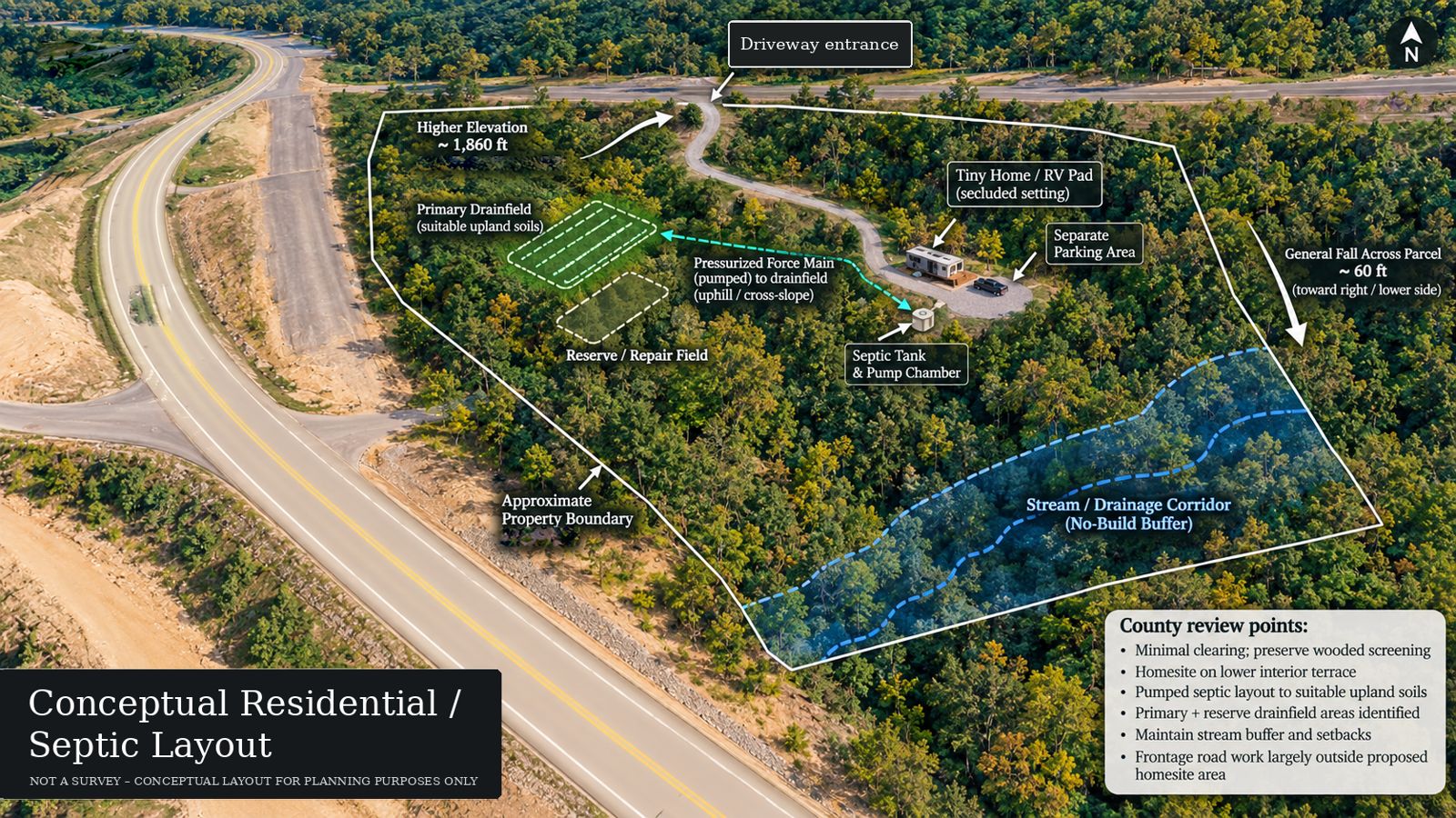
Annotated aerial layout showing a tiny home or RV pad, septic tank, drainfields, slope, and a stream bufferConcept rendering
Residential and septic layoutPad location, septic tank and pump chamber, primary and reserve drainfields, slope, and a stream buffer. Conceptual only, not a survey.
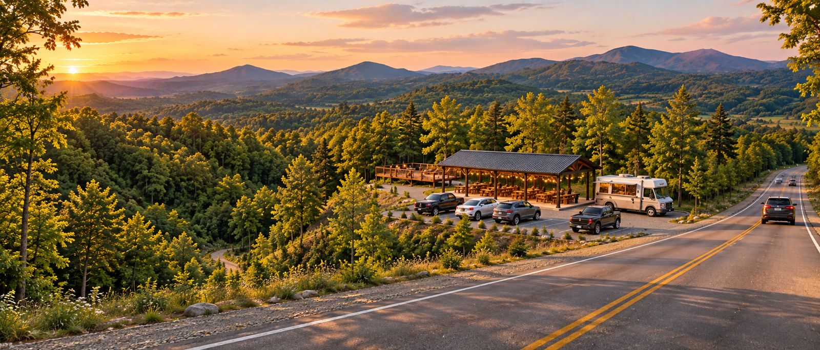
Concept rendering of a roadside pavilion and deck with parked cars and a food truck at sunset, mountains behindConcept rendering
Roadside pavilion with mountain viewsA covered pavilion, deck, and gravel parking at a roadside pull-off. Room for a food truck, weekend market, or picnic stop.
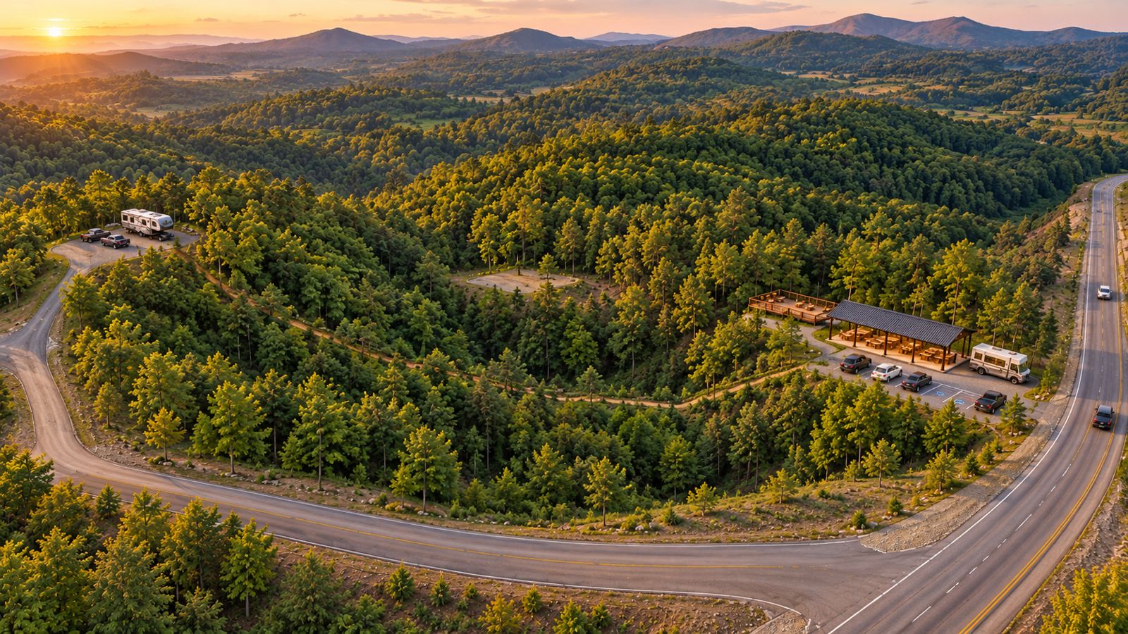
Aerial concept rendering of a wooded parcel with a roadside pavilion and parking, a camper pad, and a trailConcept rendering
Pavilion, camper pad, and trails from aboveA roadside market area by the highway, a camper pad up the hill, a cleared center area, and a walking trail connecting them.
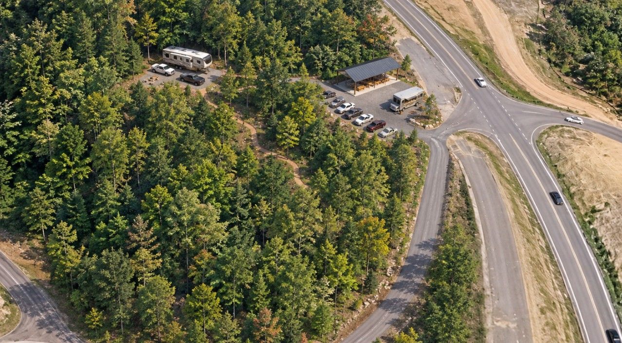
Aerial concept rendering of a pavilion, parking area, and camper pad beside a highway interchangeConcept rendering
Market stop near a highway interchangePavilion and parking with easy road access, and a camper pad tucked into the trees.

Talk to us about your land

Owner tools. Edits stay on your screen until you save and upload.